
Kef Lahmar topographic map
Interactive map
Click on the map to display elevation.
About this map
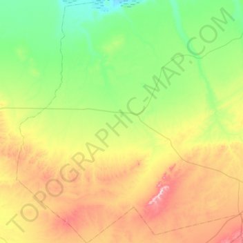
Name: Kef Lahmar topographic map, elevation, terrain.
Location: Kef Lahmar, Rogassa District, El Bayadh, Algeria (33.60044 0.38771 34.06899 0.91580)
Average elevation: 1,167 m
Minimum elevation: 988 m
Maximum elevation: 1,539 m