
Coen topographic map
Interactive map
Click on the map to display elevation.
About this map
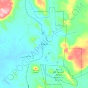
Name: Coen topographic map, elevation, terrain.
Location: Coen, Cook Shire, Queensland, Australia (-13.98464 143.15972 -13.90464 143.23972)
Average elevation: 261 m
Minimum elevation: 180 m
Maximum elevation: 560 m