
Gango topographic map
Interactive map
Click on the map to display elevation.
About this map
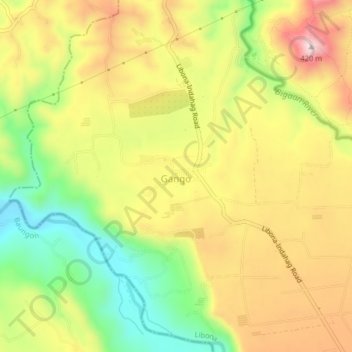
Name: Gango topographic map, elevation, terrain.
Location: Gango, Bukidnon, Northern Mindanao, 9000V, Philippines (8.36823 124.64645 8.40823 124.68645)
Average elevation: 253 m
Minimum elevation: 74 m
Maximum elevation: 428 m