
Wendron topographic map
Interactive map
Click on the map to display elevation.
About this map
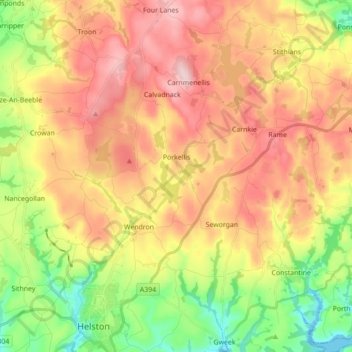
Name: Wendron topographic map, elevation, terrain.
Location: Wendron, Porkellis, Cornwall, England, United Kingdom (50.09346 -5.27882 50.20538 -5.17835)
Average elevation: 127 m
Minimum elevation: 0 m
Maximum elevation: 250 m