
Le Mars topographic map
Interactive map
Click on the map to display elevation.
About this map
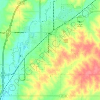
Name: Le Mars topographic map, elevation, terrain.
Location: Le Mars, Plymouth County, Iowa, 51031, United States (42.74967 -96.22828 42.81252 -96.13495)
Average elevation: 386 m
Minimum elevation: 356 m
Maximum elevation: 427 m