
Prambachkirchen topographic map
Interactive map
Click on the map to display elevation.
About this map
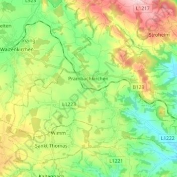
Name: Prambachkirchen topographic map, elevation, terrain.
Location: Prambachkirchen, Bezirk Eferding, Upper Austria, 4731, Austria (48.28102 13.85124 48.34224 13.97527)
Average elevation: 394 m
Minimum elevation: 289 m
Maximum elevation: 571 m