
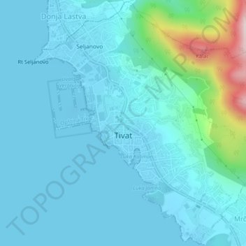
Tivat topographic map
Interactive map
Click on the map to display elevation.
About this map
Name: Tivat topographic map, elevation, terrain.
Location: Tivat, Tivat Municipality, Montenegro (42.41752 18.68437 42.44621 18.72370)
Average elevation: 60 m
Minimum elevation: -4 m
Maximum elevation: 460 m
Although it is the youngest town in the Boka region, Tivat has a number of tourist sites. Renaissance Summer House Buca in the centre of city, Ostrvo Cvijeća (Flowers’ Island) with sacred monuments, Gornja Lastva, the old nucleus at an altitude of 300 m (984.25 ft), the magnificent sandy beach at Plavi Horizonti and the Sveti Marko Island with ex-Club Med cottages are the most visited. In the city itself there is the natural port Kalimanj. There is also a choice of cultural events, such as "Bocce Olympiad" and "Summer Fest". Tivat boasts a botanic garden planted with gifts from Bokan sailors who brought back a wide variety of exotic tree species and ornamental plants from their voyages.