
Tingtibi topographic map
Interactive map
Click on the map to display elevation.
About this map
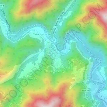
Name: Tingtibi topographic map, elevation, terrain.
Location: Tingtibi, Trong Gewog, Zhemgang District, Bhutan (27.12224 90.67121 27.16224 90.71121)
Average elevation: 776 m
Minimum elevation: 466 m
Maximum elevation: 1,395 m