
Lethbridge County topographic map
Interactive map
Click on the map to display elevation.
About this map
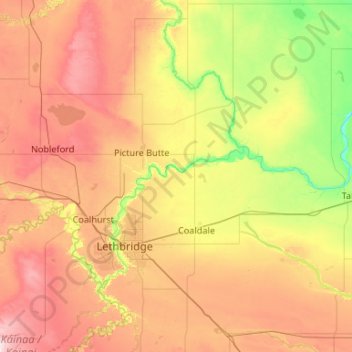
Name: Lethbridge County topographic map, elevation, terrain.
Location: Lethbridge County, Alberta, Canada (49.52359 -113.27683 50.13536 -112.21761)
Average elevation: 901 m
Minimum elevation: 738 m
Maximum elevation: 1,141 m