
Manchili topographic map
Interactive map
Click on the map to display elevation.
About this map
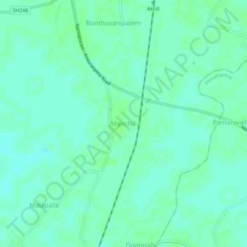
Name: Manchili topographic map, elevation, terrain.
Location: Manchili, Attili, West Godavari, Andhra Pradesh, 533134, India (16.64014 81.59113 16.68014 81.63113)
Average elevation: 8 m
Minimum elevation: 4 m
Maximum elevation: 11 m