
Marbach topographic map
Interactive map
Click on the map to display elevation.
About this map
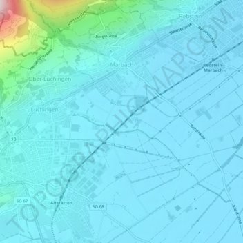
Name: Marbach topographic map, elevation, terrain.
Location: Marbach, Wahlkreis Rheintal, St. Gallen, 9437, Switzerland (47.36814 9.55528 47.40052 9.60327)
Average elevation: 448 m
Minimum elevation: 407 m
Maximum elevation: 855 m