
Peneda topographic map
Interactive map
Click on the map to display elevation.
About this map
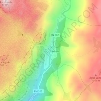
Name: Peneda topographic map, elevation, terrain.
Location: Peneda, Viana do Castelo, North, 4970-150, Portugal (41.96895 -8.22436 41.97934 -8.21929)
Average elevation: 923 m
Minimum elevation: 548 m
Maximum elevation: 1,250 m