
Mariaposching topographic map
Interactive map
Click on the map to display elevation.
About this map
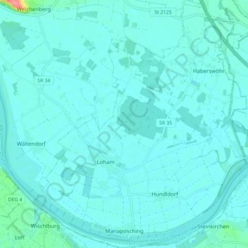
Name: Mariaposching topographic map, elevation, terrain.
Average elevation: 317 m
Minimum elevation: 309 m
Maximum elevation: 386 m
Breitenhausen | Breitenrain | Bruch | Burgstall | Draht | Eng | Fahrndorf | Haberswöhr | Höhenrain | Hundldorf | Kohlstadt | Loham | Mariaposching | Moos | Sommersdorf | Steinrain | Tradt