
Moulton topographic map
Interactive map
Click on the map to display elevation.
About this map
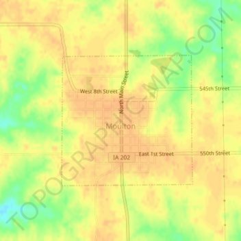
Name: Moulton topographic map, elevation, terrain.
Location: Moulton, Appanoose County, Iowa, United States (40.67831 -92.68598 40.69293 -92.66661)
Average elevation: 297 m
Minimum elevation: 272 m
Maximum elevation: 306 m
Other topographic maps
Click on a map to view its topography, its elevation and its terrain.
Numa
United States > Iowa > Appanoose County
Numa, Appanoose County, Iowa, United States
Average elevation: 303 m
Moravia
United States > Iowa > Appanoose County > Moravia > Moravia
Moravia, Appanoose County, Iowa, 52571, United States
Average elevation: 298 m
Centerville
United States > Iowa > Appanoose County
Centerville, Appanoose County, Iowa, 52544, United States
Average elevation: 293 m