
Jamrud topographic map
Interactive map
Click on the map to display elevation.
About this map
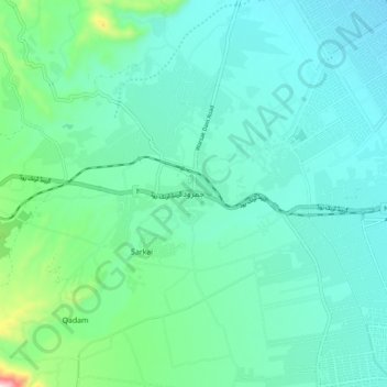
Name: Jamrud topographic map, elevation, terrain.
Location: Jamrud, Khyber Pakhtunkhwa, Pakistan (33.96201 71.34083 34.04201 71.42083)
Average elevation: 470 m
Minimum elevation: 377 m
Maximum elevation: 907 m