
Orellana topographic map
Interactive map
Click on the map to display elevation.
About this map
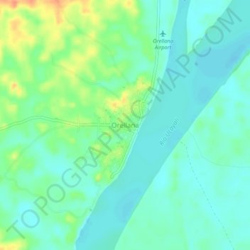
Name: Orellana topographic map, elevation, terrain.
Location: Orellana, Vargas Guerra, Province of Ucayali, Loreto, Peru (-6.93143 -75.17830 -6.89143 -75.13830)
Average elevation: 126 m
Minimum elevation: 113 m
Maximum elevation: 157 m
Other topographic maps
Click on a map to view its topography, its elevation and its terrain.
Daniel Alcides Carrion
Peru > Loreto > Vargas Guerra > Daniel Alcides Carrion
Daniel Alcides Carrion, Vargas Guerra, Province of Ucayali, Loreto, Peru
Average elevation: 123 m