
Catherine Slack topographic map
Interactive map
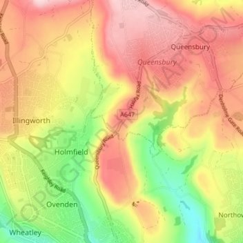
Click on the map to display elevation.
About this map
Name: Catherine Slack topographic map, elevation, terrain.
Average elevation: 268 m
Minimum elevation: 127 m
Maximum elevation: 380 m
Other topographic maps
Click on a map to view its topography, its elevation and its terrain.
Foster Park
United Kingdom > England > Bradford > Queensbury
Foster Park, Queensbury, Bradford, West Yorkshire, Yorkshire and the Humber, England, United Kingdom
Average elevation: 292 m