
Clarkston topographic map
Interactive map
Click on the map to display elevation.
About this map
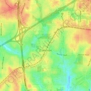
Name: Clarkston topographic map, elevation, terrain.
Location: Clarkston, DeKalb County, Georgia, 30021, United States (33.79354 -84.26392 33.82925 -84.22563)
Average elevation: 307 m
Minimum elevation: 278 m
Maximum elevation: 330 m