
Mota topographic map
Interactive map
Click on the map to display elevation.
About this map
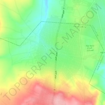
Name: Mota topographic map, elevation, terrain.
Average elevation: 1,172 m
Minimum elevation: 1,106 m
Maximum elevation: 1,257 m
Other topographic maps
Click on a map to view its topography, its elevation and its terrain.
Al Iraq
Jordan > Karak > Mazar Sub-District > Al Iraq
Al Iraq, Mazar Sub-District, Mazar Janoobee District, Karak, Jordan
Average elevation: 977 m