
Sungai Pontian topographic map
Interactive map
Click on the map to display elevation.
About this map
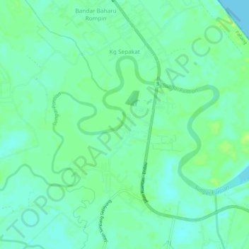
Name: Sungai Pontian topographic map, elevation, terrain.
Location: Sungai Pontian, Kg Sepakat, Rompin, Pahang, Malaysia (2.75444 103.47741 2.78051 103.52521)
Average elevation: 6 m
Minimum elevation: 0 m
Maximum elevation: 14 m