
Thalangama topographic map
Interactive map
Click on the map to display elevation.
About this map
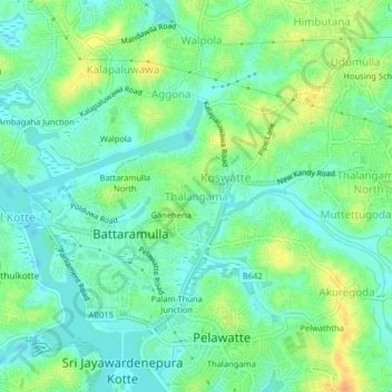
Name: Thalangama topographic map, elevation, terrain.
Location: Thalangama, Colombo District, Western Province, 10120, Sri Lanka (6.88604 79.90633 6.92604 79.94633)
Average elevation: 13 m
Minimum elevation: -2 m
Maximum elevation: 35 m