
Daulatpur topographic map
Interactive map
Click on the map to display elevation.
About this map
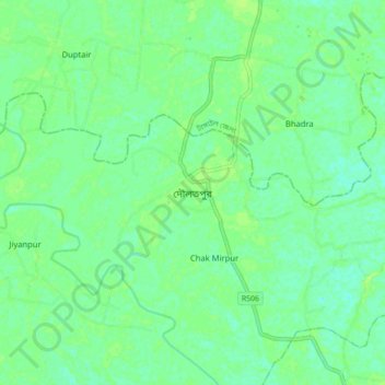
Name: Daulatpur topographic map, elevation, terrain.
Location: Daulatpur, Manikganj District, Dhaka Division, Bangladesh (23.92868 89.79375 24.00868 89.87375)
Average elevation: 10 m
Minimum elevation: 4 m
Maximum elevation: 15 m