
Sour topographic map
Interactive map
Click on the map to display elevation.
About this map
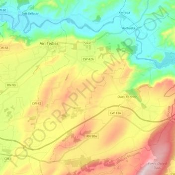
Name: Sour topographic map, elevation, terrain.
Location: Sour, Aïn Tedles District, Mostaganem, Algeria (35.89086 0.26043 36.02664 0.45672)
Average elevation: 193 m
Minimum elevation: 5 m
Maximum elevation: 468 m
Other topographic maps
Click on a map to view its topography, its elevation and its terrain.
Ain Tedles
Algeria > Mostaganem > Aïn Tedles District
Ain Tedles, Aïn Tedles District, Mostaganem, 27001, Algeria
Average elevation: 196 m