
Cileunyi Kulon topographic map
Interactive map
Click on the map to display elevation.
About this map
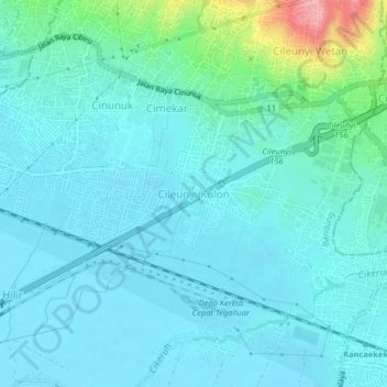
Name: Cileunyi Kulon topographic map, elevation, terrain.
Location: Cileunyi Kulon, West Java, 40624, Indonesia (-6.96938 107.71803 -6.92938 107.75803)
Average elevation: 680 m
Minimum elevation: 661 m
Maximum elevation: 782 m