
Ingo topographic map
Interactive map
Click on the map to display elevation.
About this map
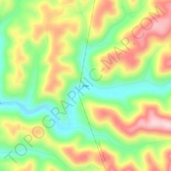
Name: Ingo topographic map, elevation, terrain.
Location: Ingo, Upshur County, West Virginia, 26228, United States (38.74927 -80.43009 38.78927 -80.39009)
Average elevation: 441 m
Minimum elevation: 297 m
Maximum elevation: 609 m