
Csongrád topographic map
Interactive map
Click on the map to display elevation.
About this map
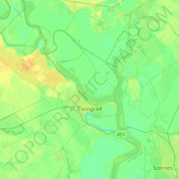
Name: Csongrád topographic map, elevation, terrain.
Average elevation: 82 m
Minimum elevation: 74 m
Maximum elevation: 96 m
Other topographic maps
Click on a map to view its topography, its elevation and its terrain.
Magyarcsanád
Magyarcsanád, Makói járás, Csongrád-Csanád, South Great Plain, Great Plain and North, 6932, Hungary
Average elevation: 87 m
Szeged
Szeged, Szegedi járás, Csongrád-Csanád, South Great Plain, Great Plain and North, Hungary
Average elevation: 80 m