
Hatton topographic map
Interactive map
Click on the map to display elevation.
About this map
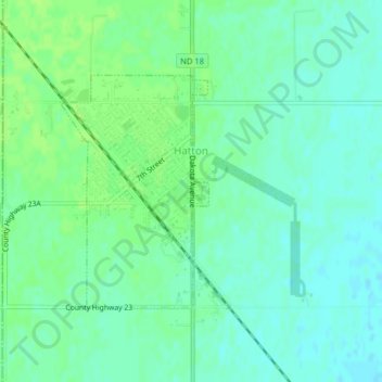
Name: Hatton topographic map, elevation, terrain.
Location: Hatton, Traill County, North Dakota, United States (47.62864 -97.46718 47.64505 -97.45155)
Average elevation: 329 m
Minimum elevation: 323 m
Maximum elevation: 334 m
Other topographic maps
Click on a map to view its topography, its elevation and its terrain.
Clifford
United States > North Dakota > Traill County
Clifford, Traill County, North Dakota, United States
Average elevation: 324 m