
Naigaon topographic map
Interactive map
Click on the map to display elevation.
About this map
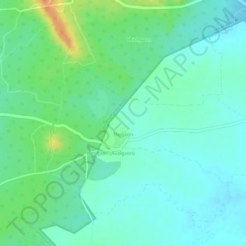
Name: Naigaon topographic map, elevation, terrain.
Location: Naigaon, Pauni Taluka, Bhandara District, Maharashtra, India (20.78233 79.58121 20.79577 79.61086)
Average elevation: 254 m
Minimum elevation: 240 m
Maximum elevation: 282 m