
Oak Hill topographic map
Interactive map
Click on the map to display elevation.
About this map
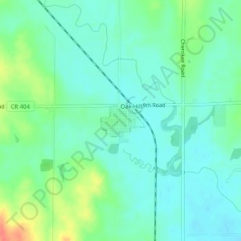
Name: Oak Hill topographic map, elevation, terrain.
Location: Oak Hill, Clay County, Kansas, United States (39.24480 -97.34573 39.24832 -97.33925)
Average elevation: 393 m
Minimum elevation: 378 m
Maximum elevation: 432 m
Other topographic maps
Click on a map to view its topography, its elevation and its terrain.
Longford
United States > Kansas > Clay County > Longford
Longford, Clay County, Kansas, United States
Average elevation: 407 m