
Kausani topographic map
Interactive map
Click on the map to display elevation.
About this map
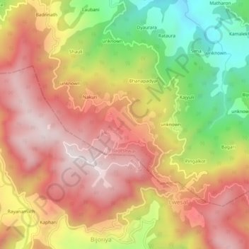
Name: Kausani topographic map, elevation, terrain.
Location: Kausani, Garud, Bageshwar, Uttarakhand, 263639, India (29.83397 79.57437 29.87397 79.61437)
Average elevation: 1,632 m
Minimum elevation: 1,221 m
Maximum elevation: 1,935 m