
Binton topographic map
Interactive map
Click on the map to display elevation.
About this map
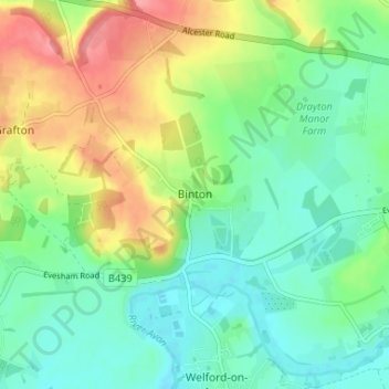
Name: Binton topographic map, elevation, terrain.
Average elevation: 60 m
Minimum elevation: 29 m
Maximum elevation: 117 m
Other topographic maps
Click on a map to view its topography, its elevation and its terrain.
Lower Binton
United Kingdom > England > Warwickshire > Stratford-on-Avon > Binton
Lower Binton, Binton CP, Binton, Stratford-on-Avon, Warwickshire, West Midlands, England, CV37 9TF, United Kingdom
Average elevation: 52 m