
Chalakudy topographic map
Interactive map
Click on the map to display elevation.
About this map
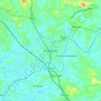
Name: Chalakudy topographic map, elevation, terrain.
Location: Chalakudy, Chalakkudy, Thrissur, Kerala, 680307, India (10.26419 76.29710 10.34419 76.37710)
Average elevation: 15 m
Minimum elevation: -2 m
Maximum elevation: 77 m
Other topographic maps
Click on a map to view its topography, its elevation and its terrain.