
Barwick topographic map
Interactive map
Click on the map to display elevation.
About this map
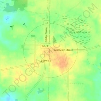
Name: Barwick topographic map, elevation, terrain.
Location: Barwick, Brooks County, Georgia, 31720, United States (30.88569 -83.74767 30.90015 -83.73089)
Average elevation: 75 m
Minimum elevation: 56 m
Maximum elevation: 90 m