
Harpole topographic map
Interactive map
Click on the map to display elevation.
About this map
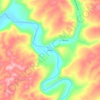
Name: Harpole topographic map, elevation, terrain.
Location: Harpole, Whitman County, Washington, United States (46.90822 -117.43658 46.94822 -117.39658)
Average elevation: 658 m
Minimum elevation: 562 m
Maximum elevation: 738 m