
Kilosa topographic map
Interactive map
Click on the map to display elevation.
About this map
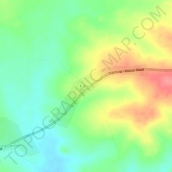
Name: Kilosa topographic map, elevation, terrain.
Location: Kilosa, Nanyumbu, Mtwara Region, Coastal Zone, Tanzania (-10.85510 38.62895 -10.81510 38.66895)
Average elevation: 340 m
Minimum elevation: 308 m
Maximum elevation: 387 m
Other topographic maps
Click on a map to view its topography, its elevation and its terrain.
Chipite
Chipite, Masasi, Mtwara Region, Coastal Zone, Tanzania
Average elevation: 192 m