
Orondo topographic map
Interactive map
Click on the map to display elevation.
About this map
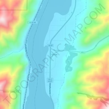
Name: Orondo topographic map, elevation, terrain.
Location: Orondo, Douglas County, Washington, United States (47.60554 -120.24581 47.64554 -120.20581)
Average elevation: 386 m
Minimum elevation: 211 m
Maximum elevation: 902 m