
Thomasville topographic map
Interactive map
Click on the map to display elevation.
About this map
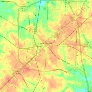
Name: Thomasville topographic map, elevation, terrain.
Location: Thomasville, Thomas County, Georgia, 31792, United States (30.79366 -84.01641 30.87506 -83.93770)
Average elevation: 80 m
Minimum elevation: 49 m
Maximum elevation: 98 m