
Lakeland topographic map
Interactive map
Click on the map to display elevation.
About this map
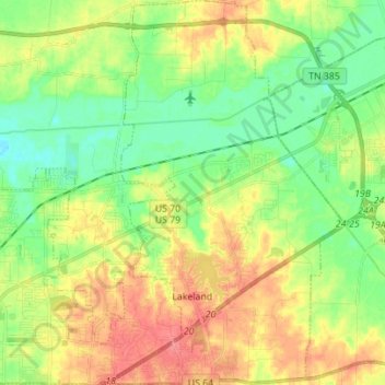
Name: Lakeland topographic map, elevation, terrain.
Location: Lakeland, Shelby County, Tennessee, 38002, United States (35.20444 -89.77239 35.31770 -89.68542)
Average elevation: 95 m
Minimum elevation: 67 m
Maximum elevation: 132 m