
Gebel Umm Taghir al Fuqani topographic map
Interactive map
Click on the map to display elevation.
About this map
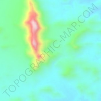
Name: Gebel Umm Taghir al Fuqani topographic map, elevation, terrain.
Location: Gebel Umm Taghir al Fuqani, Red Sea Governorate, Egypt (26.68328 33.63328 26.68338 33.63338)
Average elevation: 614 m
Minimum elevation: 528 m
Maximum elevation: 870 m
Other topographic maps
Click on a map to view its topography, its elevation and its terrain.
Red Sea Hills
Red Sea Hills, Red Sea Governorate, Egypt
Average elevation: 448 m
Zaafaranah
Egypt > Red Sea Governorate > Zaafaranah
Zaafaranah, Red Sea Governorate, Egypt
Average elevation: 56 m