
Jamtha topographic map
Interactive map
Click on the map to display elevation.
About this map
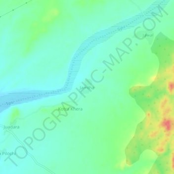
Name: Jamtha topographic map, elevation, terrain.
Location: Jamtha, Reodar Tehsil, Sirohi, Rajasthan, India (24.52478 72.43099 24.56478 72.47099)
Average elevation: 223 m
Minimum elevation: 205 m
Maximum elevation: 271 m