
Surin topographic map
Interactive map
Click on the map to display elevation.
About this map
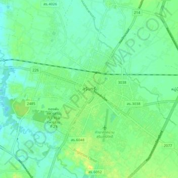
Name: Surin topographic map, elevation, terrain.
Location: Surin, Surin Province, 32000, Thailand (14.84418 103.45062 14.92418 103.53062)
Average elevation: 146 m
Minimum elevation: 137 m
Maximum elevation: 161 m
Other topographic maps
Click on a map to view its topography, its elevation and its terrain.