
Kalā Khēl topographic map
Interactive map
Click on the map to display elevation.
About this map
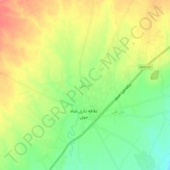
Name: Kalā Khēl topographic map, elevation, terrain.
Location: Kalā Khēl, Shahjoy, Zabul Province, Afghanistan (32.50825 67.39347 32.54825 67.43347)
Average elevation: 1,874 m
Minimum elevation: 1,840 m
Maximum elevation: 1,906 m