
Butjadingen topographic map
Interactive map
Click on the map to display elevation.
About this map
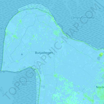
Name: Butjadingen topographic map, elevation, terrain.
Location: Butjadingen, Landkreis Wesermarsch, Lower Saxony, 26969, Germany (53.47618 8.22562 53.61895 8.47661)
Average elevation: 0 m
Minimum elevation: -4 m
Maximum elevation: 6 m