
Vandri Lake topographic map
Interactive map
Click on the map to display elevation.
About this map
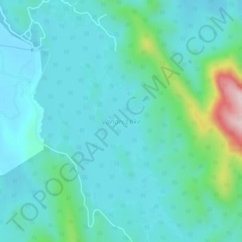
Name: Vandri Lake topographic map, elevation, terrain.
Location: Vandri Lake, Palghar, Maharashtra, India (19.58941 72.93710 19.62830 72.96259)
Average elevation: 82 m
Minimum elevation: 18 m
Maximum elevation: 395 m
Other topographic maps
Click on a map to view its topography, its elevation and its terrain.