
Gilmer topographic map
Interactive map
Click on the map to display elevation.
About this map
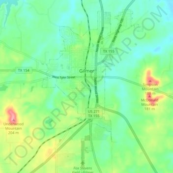
Name: Gilmer topographic map, elevation, terrain.
Location: Gilmer, Upshur County, Texas, United States (32.69083 -94.96785 32.75907 -94.92056)
Average elevation: 117 m
Minimum elevation: 82 m
Maximum elevation: 197 m