
Forrest topographic map
Interactive map
Click on the map to display elevation.
About this map
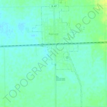
Name: Forrest topographic map, elevation, terrain.
Location: Forrest, Livingston County, Illinois, United States (40.73110 -88.41922 40.76175 -88.40027)
Average elevation: 212 m
Minimum elevation: 205 m
Maximum elevation: 224 m