
Moyle topographic map
Interactive map
Click on the map to display elevation.
About this map
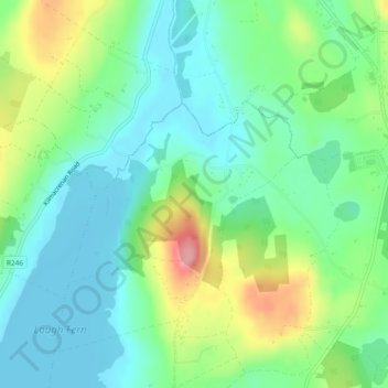
Name: Moyle topographic map, elevation, terrain.
Location: Moyle, Ballyarr ED, Letterkenny, County Donegal, Ireland (55.06178 -7.71748 55.07492 -7.68990)
Average elevation: 55 m
Minimum elevation: 18 m
Maximum elevation: 138 m
Other topographic maps
Click on a map to view its topography, its elevation and its terrain.