
Bockenem topographic map
Interactive map
Click on the map to display elevation.
About this map
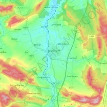
Name: Bockenem topographic map, elevation, terrain.
Location: Bockenem, Landkreis Hildesheim, Lower Saxony, 31167, Germany (51.95536 10.01668 52.06074 10.20611)
Average elevation: 178 m
Minimum elevation: 98 m
Maximum elevation: 325 m