
Hebardville topographic map
Interactive map
Click on the map to display elevation.
About this map
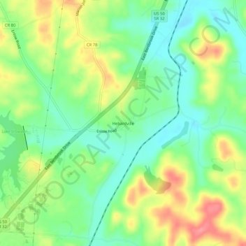
Name: Hebardville topographic map, elevation, terrain.
Location: Hebardville, Athens County, Ohio, United States (39.23341 -82.18792 39.27341 -82.14792)
Average elevation: 230 m
Minimum elevation: 197 m
Maximum elevation: 279 m