
Azle topographic map
Interactive map
Click on the map to display elevation.
About this map
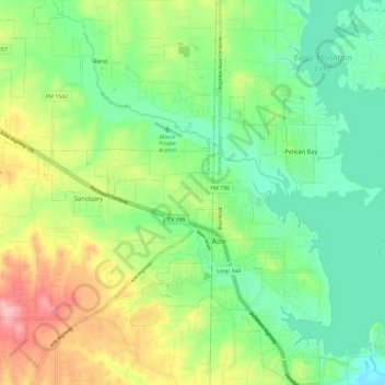
Name: Azle topographic map, elevation, terrain.
Location: Azle, Tarrant County, Texas, 76020, United States (32.86002 -97.59121 32.96028 -97.50872)
Average elevation: 223 m
Minimum elevation: 177 m
Maximum elevation: 308 m
Other topographic maps
Click on a map to view its topography, its elevation and its terrain.